STEDEN & GEMEENTEN
Geo-Applicaties op maat van Steden & Gemeenten
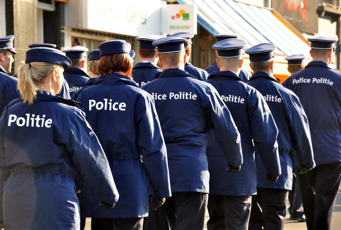
POLITIE
Professionele GIS & BI toepassingen voor politiezones, vandaag reeds bij 115 zones geïmplementeerd.
Geo-Applicaties op maat van Steden & Gemeenten
Professionele GIS & BI toepassingen voor politiezones, vandaag reeds bij 115 zones geïmplementeerd.